LASR.net Homepage


Menu

Conway, Arkansas

Directions: Five miles west of Conway on U.S. 64; two miles south on Ark. 319

Facilities include the Blockhouse restoration, the Cherokee Trail of Tears, a boat launching ramp, hiking trails, restrooms, picnic areas, pavilion, handicapped trails and parking areas, historical mural of this pioneer settlement, markers, and interpretive signs

Attractions and Upcoming Events

Faulkner County Museum

Housed in the historic 1869-1896

Conway, AR Museums

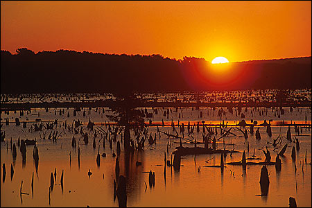
Lake Conway

The largest Game and Fish Commission lake in the country at 6,700 acres; popular for catfish, bream and bass fishing.

Conway, AR Recreation

Old Ferry Landing Park/Toad Suck Park

West of Conway along the Arkansas River at Toad Suck Lock and Dam; includes boat ramp, picnic areas, pavilions, playground, campsites; a restored metal towboat once used by the ferry.

Conway, AR Parks

Lake Beaverfork

Lake Beaverfork lies along the east side of Ark. 25, north of the Conway city limits. There is a boat ramp available for boating, fishing and skiing. The park also has picnic, sports and swimming areas.

Conway, AR Recreation

Cadron Settlement Park

Directions: Five miles west of Conway on U.S. 64; two miles south on Ark. 319

Conway, AR Parks

Things to do near Conway, AR

Finders Keepers Flea Market

Antiques, flea market items ...

Central Arkansas Library -- Main Branch

State-of-the-art library occupies a former furniture warehouse in the River Market district. GROUPS: Meeting rooms free durin...

Burns Park

Directions: Exit 150 off I-40 1,600-acre park featuring a pre-Civil War log cabin; covered bridge; 36-hole golf course; indoo...

Lake Beaverfork

Lake Beaverfork lies along the east side of Ark. 25, north of the Conway city limits. There is a boat ramp available for boat...

Burns Park Golf Course -Championship

Course Access: PublicHoles: 18Reserve Advance Tee Times: 2 days...