LASR.net Homepage


Menu

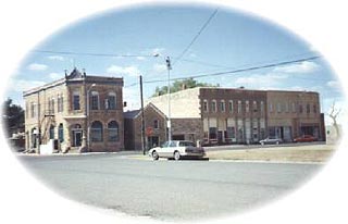
Jetmore, Kansas

The Fort Hays-Fort Dodge Road is an interesting trail crossing the eastern part of Hodgeman County. The road was used to haul freight from the rail head to connect to the Santa Fe Trail, Fort Dodge and the New Mexico. The Duncan's Crossing marker is found on the Pawnee Creek seven miles north and three miles east of Hanston. The original "cut" in the creek bank is visible today. Other ruts are visible three and one-half miles west of Hanston on US 156 just to the north. The Warner Ranch Sawlog Marker is located along the county line eleven miles south of Jetmore on US 283 and one and one-half miles east.

Attractions and Upcoming Events

Sawlog Mural

The 'point of rocks'

Jetmore, KS Arts

Buckner Valley Park

Buckner Valley Park is located five and one-half miles west of Jetmore on Buckner Creek. The original dam site on the Buckner Creek was built through the Works Progress Administration (WPA)

Jetmore, KS Recreation

Jetmore Motorplex Inc.

Bombers, Cruisers, Modifieds, Sprint, Super Stocks, Go-Karts, Midgets, Flat Track Motorcycles - NCRA, KORR, SMRS/RMMRA, ASCS 360, TORA LM - National Championships

Jetmore, KS Car Races

Point of Rocks Prairie Landmark

The Point of Rocks landmark is located eight miles south of Jetmore on US 283, 6.75 miles east and 1.5 miles north. Before the settlement of the area, the 'point of rocks'

Jetmore, KS Landmarks

Fort Hays-Fort Dodge Road

The Fort Hays-Fort Dodge Road is an interesting trail crossing the eastern part of Hodgeman County. The road was used to haul freight from the rail head to connect to the Santa Fe Trail, Fort Dodge and the New Mexico. The Duncan'

Jetmore, KS Historical Markers

Things to do near Jetmore, KS