Nebraska Landmarks
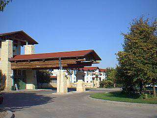
Pan American Highway
Two counties in southeast Nebraska are bisected by one of the nation's oldest highways - US 81, also known as the Pan American Highway. Thayer and Fillmore counties serve as part of the 17,000
Fort O.K. Cannon
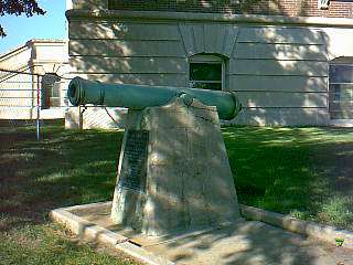
The cannon located on the South lawn of the Courthouse is dated 1853 and with the forged stamp of AMES CO. FOUNDERS, CHICOPEE, MASS.
"This cannon was left at Fort O.K. August 22, 1865
Historical Markers in Hall County
California and Overland Trail Markers - Six identical granite markers were erected on July 4, 1923. The historical markers mark the
Oregon Trail Marker
The countless wagons that passed through what is now Deuel County during the westward expansion of the 1800
Tri-State Corner Marker
The original marker designating the southwestern corner of nebraska and the southeastern corner of Wyoming where they meet the Colorado line was erected on august 17, 1869
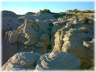
Scotts Bluff National Monument
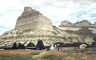
Named for fur trapper Hiram Scott, this imposing natural formation was originally called ma-a-pa-te ("hill that is hard to go around") by Indians in the region. Scotts Bluff, rising 800
Gazebo

The gazebo on the southeast corner of the Courthouse Square was built as a prop for the TV mini-series, "AMERIKA,"
"Old Trusty" Incubator Factory
Mr. and Mrs. M.M. Johnson came to Clay Center from Sheridan, Missouri in 1894
Historic HMMJ Radio Station
Headlines in the Clay County Sun of December 3, 1925, proclaimed "Local Station KMMJ Is On The Air!" flattering success of "Worlds Most Beautiful Radio Plant."
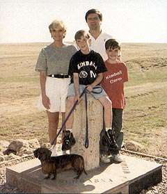
Boot Hill Sculpture
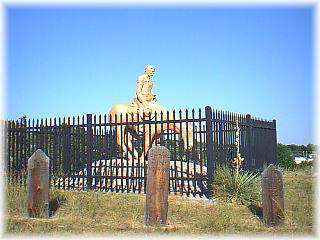
The sculpture at the top of Boot Hill was done by the late Dr. B. L. Gainsforth, long time Ogallala dentist and orthodontist. The sculpture was done in the likeness of Samual (Lep)
California Hill
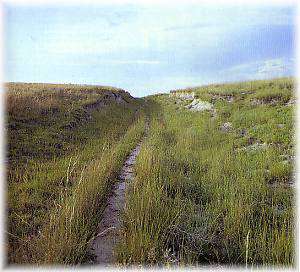
California Hill was climbed by thousands of emigrants heading west during the covered wagon migrations of 1841-1860
Diamond Springs Station Site
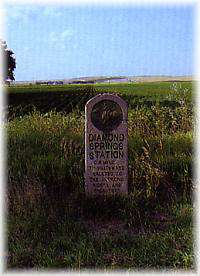
In 1859, the firm of Russell, Majors, and Waddell constructed this Pony Express station on a low terrace overlooking the South Platte Rover. After the Pony Express ceased operation in 1861
Beauvais Ranche Station Site
Following a career with Pierre Chouteau, Jr. and Company, Geminian Pierre Beauvais established his own trading post in 1849
Pike-Pawnee Village and Historical Marker
Occupied from 1770 to about 1810 or later, the Pike-Pawnee National Historic Landmark
Coufal Ridge Site
National Historic Landmark - Sometime between A.D. 1250 and A.D. 1450
Palmer Site
National Historic Landmark - The Palmer Site is the location of a Skidi Pawnee village occupied from 1804 to 1844